Real Success Stories from Our Clients
Discover how organizations large and small have harnessed Mavtrek’s GIS-driven platform to conquer everyday challenges, cut costs, and boost efficiency.

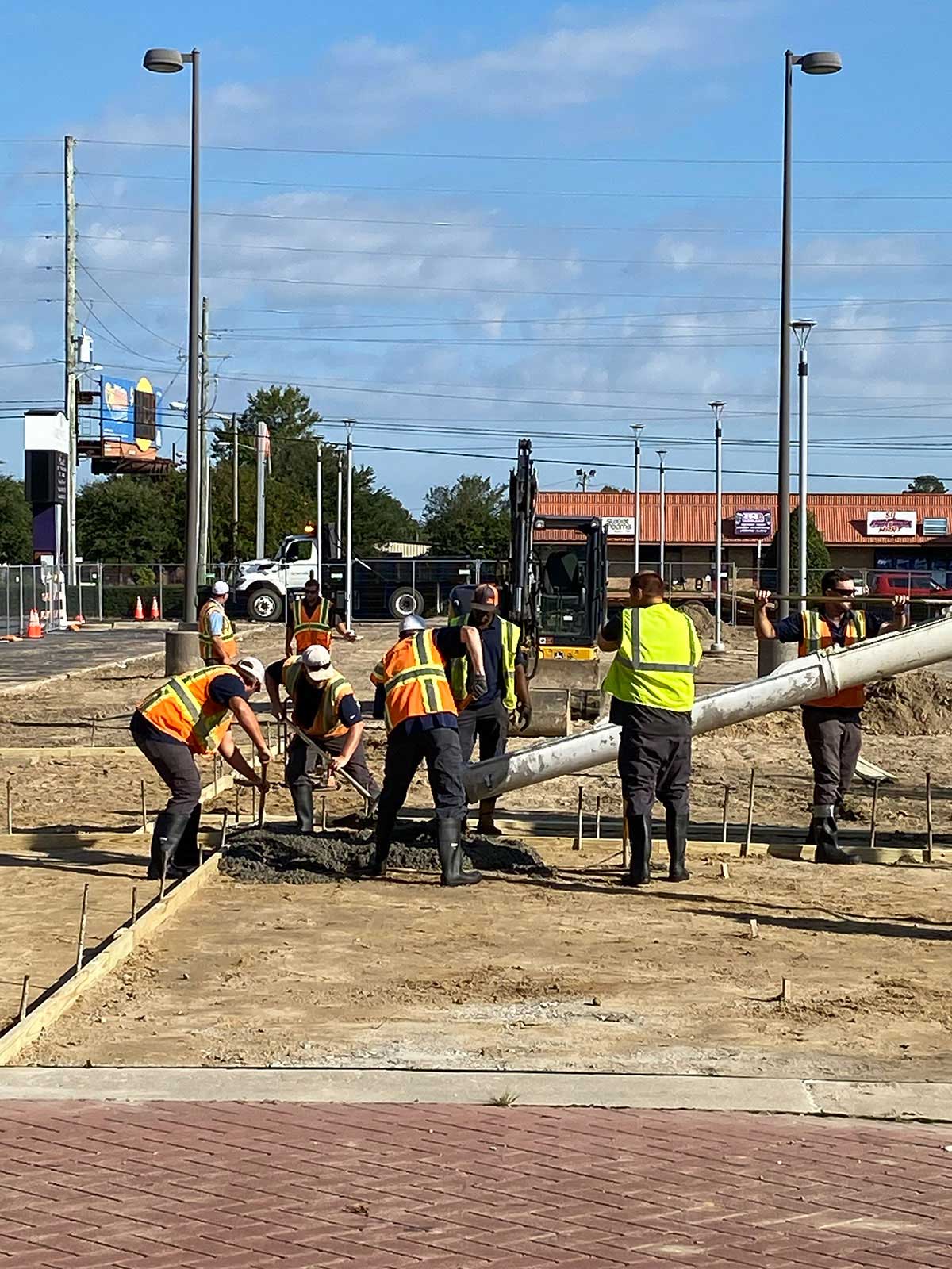
City of Greenville, NC - Public Works
GPW adopted Mavtrek’s Point of Work, a cloud-based solution that integrates data from multiple city systems (311, 811, ESRI, GIS, and Munis Financials)
Mavtrek’s Impact on Greenville Public Works
Mavtrek’s Point of Work provided GPW with a modern, data-driven solution that improved efficiency, communication, and resource allocation. By replacing outdated paper-based workflows, the department is now better equipped to serve Greenville’s growing population while effectively advocating for necessary funding.
- Streamlined Operations & Communication
Replaced inefficient paper-based tracking with a mobile-first platform, enabling real-time data sharing between field crews, supervisors, and city officials.
- Data-Driven Decision Making
Integrated with existing city systems (311, 811, GIS, Munis) to provide accurate insights, helping secure additional funding and optimize resource allocation.
- Faster Adoption & Immediate ROI
Easy-to-use system with high crew adoption, reducing backlog, improving workflow efficiency, and increasing transparency with city residents.
The Challenge
The Greenville Public Works Department (GPW) in North Carolina faced challenges managing infrastructure, street and stormwater maintenance, public transit, sanitation, fleet operations, and building maintenance. Growing demands, aging infrastructure, and limited budgets made resource allocation difficult. Traditional paper-based tracking systems (spreadsheets, Word docs, and handwritten logs) hindered efficiency, making it difficult to justify resource needs to city leaders.
- Outdated, Paper-Based Processes
GPW relied on spreadsheets, handwritten logs, and Word docs, causing inefficiencies.
- Limited Resources & Growing Demand
Managing infrastructure, sanitation, and maintenance for a booming city with budget constraints.
- Lack of Data for Decision-Making
Difficulty proving resource needs to city officials without hard data.
The Solution
GPW adopted Mavtrek’s Point of Work, a cloud-based solution that integrates data from multiple city systems (311, 811, ESRI, GIS, and Munis Financials). Unlike top-down software that often fails due to complexity and low adoption rates, Mavtrek’s user-friendly, mobile-first approach allowed real-time data capture at the front line.
- Mavtrek’s Point of Work Platform
A cloud-based, mobile-first system that captures real-time field data.
- Seamless Integration
Connected with 311, 811, GIS, and Munis for a unified operations hub.
- Easy Adoption & Fast Implementation
Configured to meet field crews’ needs, ensuring quick onboarding.
Outcomes & Impact
GPW initially deployed the platform in the Street & Stormwater division. The system was quickly configured to match field crews’ needs, making it easy to use. Crews fully adopted the platform and even trained others. Office staff saw significant efficiency improvements, reducing backlogs and ensuring real-time updates for residents.
- Improved Efficiency & Communication
Reduced backlog, eliminated paperwork, and improved team coordination.
- Secured More Funding
Data-driven insights helped justify budget increases for additional resources.
- Better Public Transparency
Real-time updates allowed clear communication with residents and city leaders.
City of Monroe, NC - Energy Services
Mavtrek’s Origins

A Hands-On Approach to Managing Real Utility Work
The City of Monroe transformed its 811 utility-locate process by implementing Mavtrek, a GIS-powered platform developed in close collaboration with field crews. This modern solution streamlines scheduling, minimizes excavation damage, and boosts efficiency by delivering real-time visibility across geographically dispersed operations. Mavtrek’s crew-centric approach ensures seamless coordination and better overall service for both staff and customers.
- City of Monroe’s Need
Facing a high volume of daily 811 locate requests, the City required a more modern, GIS-integrated system to manage tasks and coordinate field crews effectively.
- Hands-On Development
Thinking Hats Technologies collaborated directly with the teams on the ground, riding along in trucks to understand real-world challenges and design a user-friendly solution.
- Efficient, GIS-Centric Platform
The result was Mavtrek, a web-based tool that centralizes workflows, utilizes real-time mapping data, and makes it easier to assign, track, and complete underground locate requests.
The Challenge
The City of Monroe’s Energy Services Department needed a better way to handle the influx of 811 locate requests, where each request required on-site marking of buried utilities. Their outdated system couldn’t keep up with the growing volume of tasks, lacked GIS integration, and offered little real-time visibility into ongoing work.
- High Volume of Requests
Daily 811 tickets strained the department’s limited scheduling and tracking capabilities.
- Limited Technology
An outdated system made it difficult to manage crews or integrate map data, leading to inefficient and error-prone workflows.
- Geographical Spread
Crews worked across a broad service area without a cohesive, real-time method to coordinate tasks and mark underground utilities accurately.
The Solution
Thinking Hats Technologies developed Mavtrek by riding along with Monroe’s locate crews to understand their specific needs. The result was a modern, web-based platform centered around GIS mapping, allowing better organization, scheduling, and real-time tracking of locate requests.
- User-Centered Development
The team’s on-site engagement led to a system designed around actual field operations.
- GIS Integration
Real-time map data seamlessly guided crews, helping them quickly see where they needed to mark underground utilities.
- Efficient Coordination
Mavtrek’s centralized interface enabled dispatchers and managers to assign tasks based on location, priority, and available resources.
The Results
By implementing Mavtrek, the City of Monroe’s Energy Services Department reduced inefficiencies in their 811 request process, enhanced accuracy through integrated GIS data, and fostered better communication among crews, ultimately lowering the risk of damage to underground infrastructure and improving service to residents.
- Streamlined Workflows
The department dramatically cut down on manual tracking, allowing crews to focus on marking utilities rather than handling paperwork.
- Improved Accuracy
Real-time GIS mapping minimized errors and expedited the locate process.
- Better Resource Allocation
Managers could oversee multiple service areas efficiently, ensuring the right crews and equipment were dispatched to the right sites at the right times.
Contact Us
Have questions about how Mavtrek’s Point of Work platform can transform your organization?
Address
806 Green Valley Road, Suite 200, Greensboro, NC 27408
Call Us
336-936-4149
Email Us
sales@mavtrek.com